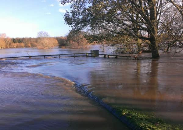
LATEST: Weather update


Gusts of winds of up to 60mph are expected across the area, with some stronger gusts in more exposed areas.
The Amber Weather Warning is valid until 3pm today (Wednesday, December 30).
Advertisement
Hide AdAdvertisement
Hide AdDespite this shortened timeframe, the predicted rainfall totals remain as before - up to 50mm across the western half of the region, but localised torrential downpours could result in up to 120mm in some locations.
SEPA have issued a Flood Alert for the Scottish Borders and specific flood warnings will be issued as and when required.
Affected areas
The areas of greatest concern, Scottish Borders Council alerts say, are in the Upper Tweed, including Peebles, Romanno Bridge, West Linton and Newlands.
At this time, the impacts on Selkirk, Hawick, Newcastleton and Jedburgh are not expected to be as bad as Storm Desmond, but river levels will be very closely monitored by SEPA and the Council.
Advertisement
Hide AdAdvertisement
Hide AdIn addition to fully stocked sandbag stores, SBC say more than 10,000 additional sandbags have been filled.
Pallets of sandbags are being provided in Tweed Green and Cuddyside areas of Peebles, in West Linton and Rommano Bridge. These will be in place later today.
The Council will be retaining a store of sandbags for prioritising their use as/when required.
Police Scotland is continuing to urge people to only travel if absolutely necessary for the duration of the Amber warning. Road conditions are likely to become very difficult due to flooding and standing water and there is a significant possibility that roads will need to be closed.
Advertisement
Hide AdAdvertisement
Hide AdResidents can keep up to date with the latest forecasts from the Met Office and flood warnings from SEPA. The Council will also be keeping residents informed via its website at www.scotborders.gov.uk/stormfrank and social media feeds.