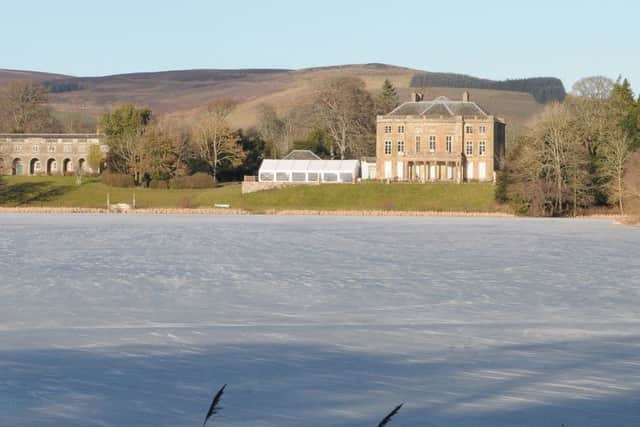
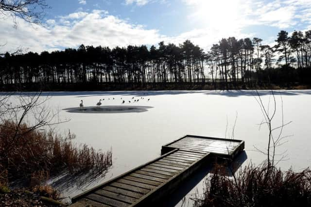
Snow no-show now over for Borders, and high winds forecast to follow


Reasonable dustings of snow could be seen south and south-west of Hawick and elsewhere on Tuesday and Wednesday, and further snow fell in the south west of the region overnight last Thursday.
Met Office yellow weather warnings for snow and ice were issued both times round.
Advertisement
Hide AdAdvertisement
Hide AdNo more snow is forecast for the Borders for the foreseeable future, although sleet is expected in places on Sunday, February 10.
Borderers are being warned to be wary of high winds tomorrow, February 8, however, and a yellow weather warning will be in place for those from noon this Friday until 6pm the day after.
A Met Office spokesperson said: “A spell of very strong winds is expected to affect large parts of the UK, leading to some travel disruption.
“Some delays to road, rail, air and ferry transport are likely.
Advertisement
Hide AdAdvertisement
Hide Ad“Delays for high-sided vehicles on exposed routes and bridges are likely.
“Some short-term loss of power and other services is possible.”
Temperatures are expected to rise as high as 10C tomorrow and not to fall any lower than 1C over the next week.
Rain is forecast daily from today until Sunday in most parts of the region.