Upgraded weather warning for snow issued for western Borders


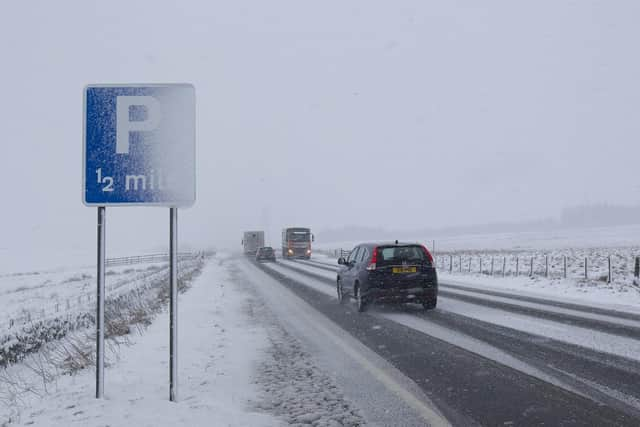
The current Met Office yellow warning for wind and snow, urging people to be aware of adverse weather conditions, remains in force for most of the Borders until midnight tonight, February 11, but it has been bumped up to amber status for the west of the region from 2pm to 9pm.
That amber warning applies mostly to the western Borders including the towns of Hawick, Selkirk, Galashiels and Peebles.
Advertisement
Hide AdAdvertisement
Hide AdScottish Borders Council emergency planning officer Jim Fraser said: “Strong westerly winds bring the potential of blizzards and drifting snow in places and are likely to lead to the disruption to travel and power supplies in places throughout Tuesday.
“There is a chance that some rural communities could get cut off, as well as some vehicles becoming stranded.
“In addition, ice will form overnight. This brings a risk of injuries from slips and falls on icy surfaces, and bus and train services may be delayed.”
A Met Office spokesperson added: “Snow showers will become frequent and heavy at times through Tuesday afternoon and evening, giving accumulations of 10cm of snow within a few hours, particularly above 150 metres.
Advertisement
Hide AdAdvertisement
Hide Ad“Strong winds, gusting at over 50mph at times, will lead to blizzard conditions and considerable drifting of lying snow over high ground.”
For further information, go to www.metoffice.gov.uk/public/weather/warnings